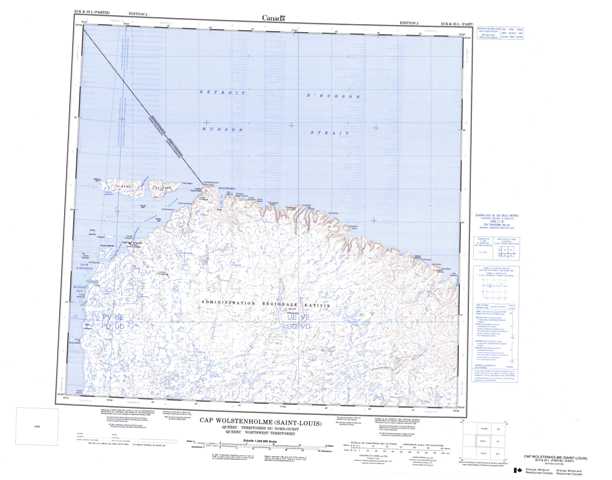
035K Cap Wolstenholme (Saint-Louis) Topographic Maps
Maps for the Cap Wolstenholme (Saint-Louis) map sheet 035K at 1:250,000 scale are available in 5 versions:
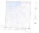
Topographic Map of Cap Wolstenholme (Saint-Louis)
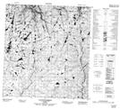
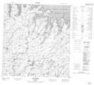
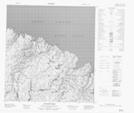
1:50,000 Scale Topos for Cap Wolstenholme (Saint-Louis) 035K:
 |
 |
 |
|
 |
 |
 |
 |
 |
 |
 |
 |
035K Related Maps:
035K Cap Wolstenholme (Saint-Louis)
035K01 Riviere Guichaud
035K02 Lac Sirmiq
035K03 Dunes Pingasualuit
035K04 Lac Siurartuuq
035K05 Ivujivik
035K06 Lac Ivitaarqiap
035K07 Cap Gobin
035K08 Cap Routhier
035K10 Cap Revillon
035K11 Erik Cove
035K12 Digges Harbour
035K01 Riviere Guichaud
035K02 Lac Sirmiq
035K03 Dunes Pingasualuit
035K04 Lac Siurartuuq
035K05 Ivujivik
035K06 Lac Ivitaarqiap
035K07 Cap Gobin
035K08 Cap Routhier
035K10 Cap Revillon
035K11 Erik Cove
035K12 Digges Harbour
