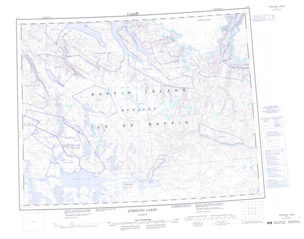
037G Icebound Lakes Topographic Maps
Maps for the Icebound Lakes map sheet 037G at 1:250,000 scale are available in 5 versions:
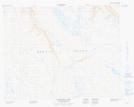
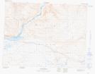
Topographic Map of Icebound Lakes
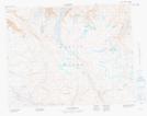
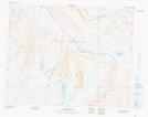
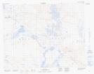
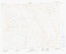
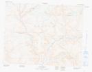
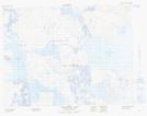
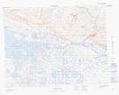
1:50,000 Scale Topos for Icebound Lakes 037G:
 |
 |
 |
|
 |
 |
 |
|
 |
 |
 |
|
 |
 |
 |
037G Related Maps:
037G Icebound Lakes
037G02 No Title
037G03 No Title
037G04 Inuktorfik Lake
037G05 No Title
037G06 No Title
037G07 No Title
037G10 No Title
037G11 No Title
037G12 Icebound Lakes
037G13 Tugaat River
037G14 No Title
037G15 No Title
037G02 No Title
037G03 No Title
037G04 Inuktorfik Lake
037G05 No Title
037G06 No Title
037G07 No Title
037G10 No Title
037G11 No Title
037G12 Icebound Lakes
037G13 Tugaat River
037G14 No Title
037G15 No Title
