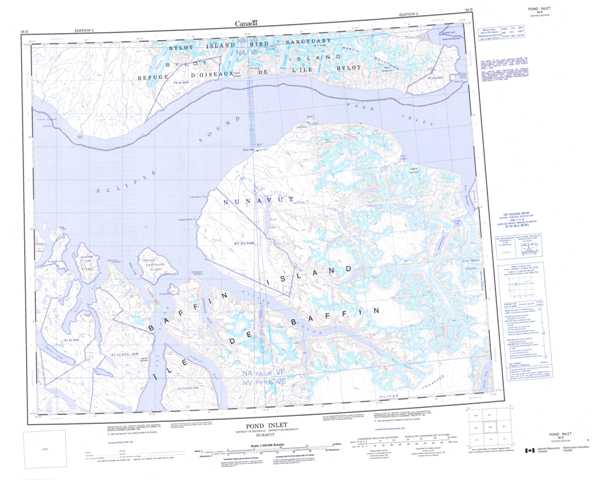
038B Pond Inlet Topographic Maps
Maps for the Pond Inlet map sheet 038B at 1:250,000 scale are available in 5 versions:
Topographic Map of Pond Inlet
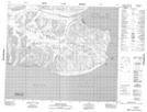
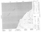
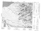
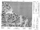
1:50,000 Scale Topos for Pond Inlet 038B:
 |
 |
 |
 |
 |
 |
 |
|
 |
 |
 |
|
038B Related Maps:
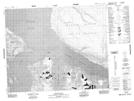
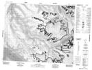
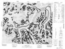
038B Pond Inlet
038B06 Oliver Sound
038B07 Utuk Lake
038B08 Inuutiq Lake
038B09 Erik Harbour
038B10 Pond Inlet
038B11 Tunuiaqtalik Point
038B13 Dufour Point
038B14 Aktineq Creek
038B15 Beloeil Island
038B16 Mount St Hans
038B06 Oliver Sound
038B07 Utuk Lake
038B08 Inuutiq Lake
038B09 Erik Harbour
038B10 Pond Inlet
038B11 Tunuiaqtalik Point
038B13 Dufour Point
038B14 Aktineq Creek
038B15 Beloeil Island
038B16 Mount St Hans
