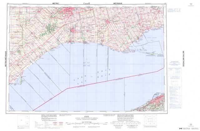
040I Erie Topographic Maps
Maps for the Erie map sheet 040I at 1:250,000 scale are available in 5 versions:
Topographic Map of Erie
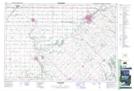
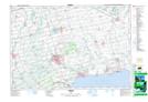
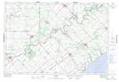
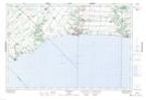
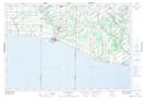
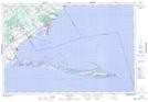
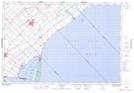
1:50,000 Scale Topos for Erie 040I:
 |
 |
 |
 |
 |
 |
 |
 |
 |
|||
040I Related Maps:
040I Erie
040I05 Ridgetown
040I09 Long Point
040I10 Port Burwell
040I11 Port Stanley
040I12 Bothwell
040I13 Strathroy
040I14 St Thomas
040I15 Tillsonburg
040I16 Simcoe
040I05 Ridgetown
040I09 Long Point
040I10 Port Burwell
040I11 Port Stanley
040I12 Bothwell
040I13 Strathroy
040I14 St Thomas
040I15 Tillsonburg
040I16 Simcoe
