042A Timmins Topographic Maps
Maps for the Timmins map sheet 042A at 1:250,000 scale are available in 5 versions:
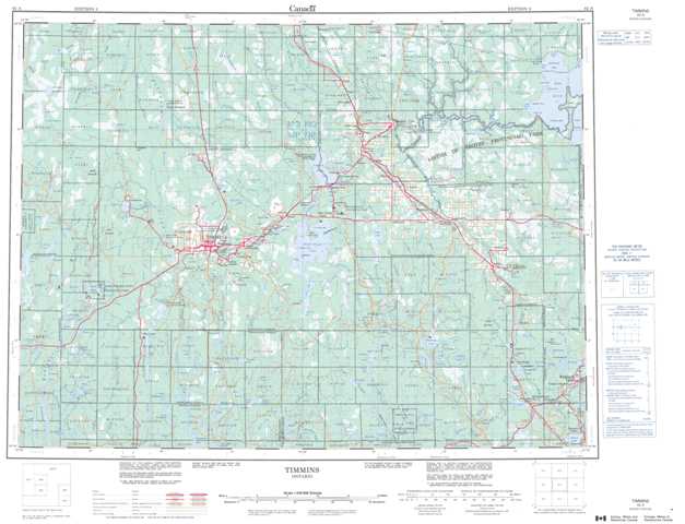
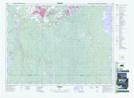
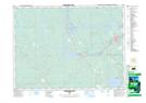
Topographic Map of Timmins
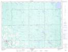
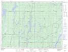
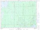
1:50,000 Scale Topos for Timmins 042A:
 |
 |
 |
 |
 |
 |
 |
 |
 |
 |
 |
 |
 |
 |
 |
 |
042A Related Maps:
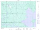
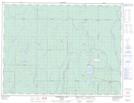
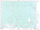
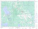
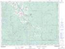
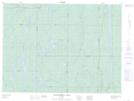
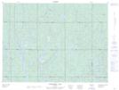
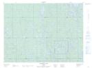
042A Timmins
042A01 Kirkland Lake
042A02 Radisson Lake
042A03 Peterlong Lake
042A04 Kenogaming Lake
042A05 Dana Lake
042A06 Timmins
042A07 Watabeag River
042A08 Ramore
042A09 Matheson
042A10 Porquis Junction
042A11 Pamour
042A12 Kamiskotia Lake
042A13 Manning Lake
042A14 Buskegau River
042A15 Iroquois Falls
042A16 Low Bush
