042B Foleyet Topographic Maps
Maps for the Foleyet map sheet 042B at 1:250,000 scale are available in 5 versions:
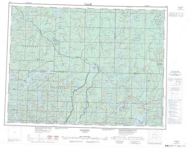
Topographic Map of Foleyet
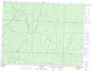
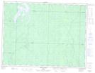
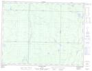
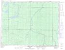
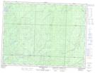
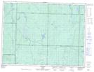
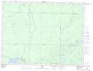
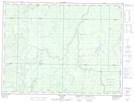
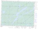
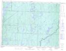
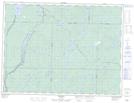
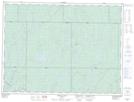
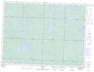
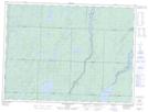
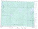
1:50,000 Scale Topos for Foleyet 042B:
 |
 |
 |
 |
 |
 |
 |
 |
 |
 |
 |
 |
 |
 |
 |
 |
042B Related Maps:
042B Foleyet
042B01 Foleyet
042B02 Ivanhoe Lake
042B03 Swanson River
042B04 Bolkow
042B05 Missinaibi Lake
042B06 Makonie Lake
042B07 Missonga
042B08 Oswald Lake
042B09 Elf Lake
042B10 Elsas
042B11 Peterbell
042B12 Greenhill River
042B13 Minnipuka
042B14 Ericson Creek
042B15 Allenby Creek
042B16 Griffin Lake
042B01 Foleyet
042B02 Ivanhoe Lake
042B03 Swanson River
042B04 Bolkow
042B05 Missinaibi Lake
042B06 Makonie Lake
042B07 Missonga
042B08 Oswald Lake
042B09 Elf Lake
042B10 Elsas
042B11 Peterbell
042B12 Greenhill River
042B13 Minnipuka
042B14 Ericson Creek
042B15 Allenby Creek
042B16 Griffin Lake
