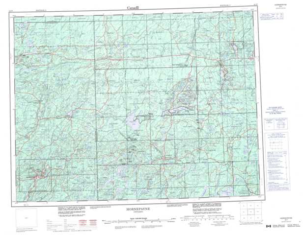
042F Hornepayne Topographic Maps
Maps for the Hornepayne map sheet 042F at 1:250,000 scale are available in 5 versions:
Topographic Map of Hornepayne
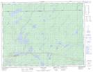
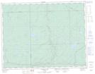
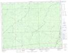
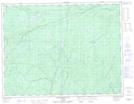
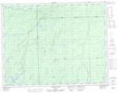
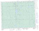
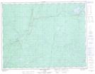
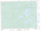
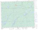
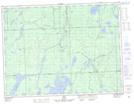
1:50,000 Scale Topos for Hornepayne 042F:
 |
 |
 |
 |
 |
 |
 |
 |
 |
 |
 |
 |
 |
 |
 |
 |
042F Related Maps:
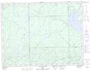
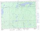
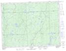
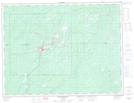
042F Hornepayne
042F01 Oba
042F02 Hornepayne
042F03 Obakamiga Lake
042F04 Manitouwadge
042F05 White Otter River
042F06 Nagagami Lake
042F07 Nagagamisis Lake
042F08 Pope Creek
042F09 Nassau Lake
042F10 Ahmabel Lake
042F11 Osawin River
042F12 Kassagimini Lake
042F13 Flint Lake
042F14 Eureka Lake
042F15 Pitopiko River
042F16 Constance Lake
