042J Smoky Falls Topographic Maps
Maps for the Smoky Falls map sheet 042J at 1:250,000 scale are available in 5 versions:
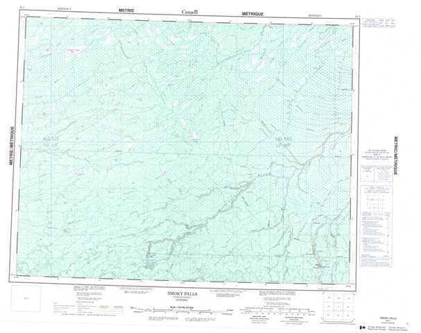
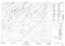
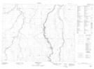
Topographic Map of Smoky Falls
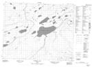
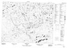
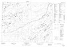
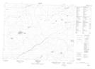
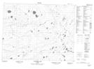
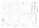
1:50,000 Scale Topos for Smoky Falls 042J:
 |
 |
 |
 |
 |
 |
 |
 |
 |
 |
 |
 |
 |
 |
 |
 |
042J Related Maps:
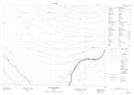
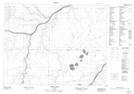
042J Smoky Falls
042J01 Smoky Falls
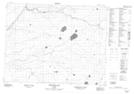
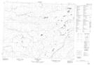
042J02 Friday Creek
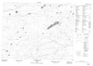
042J03 Thunder House Falls
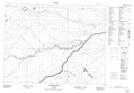
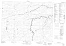
042J04 Keown Lake
042J05 Serinack Lake
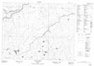
042J06 Martison Lake
042J07 Soweska River
042J08 Wawa Lakes
042J09 Mccuaig Creek
042J10 Schlievert Lakes
042J11 Crawford Lake
042J12 Moir Lake
042J13 Pledger Lake
042J14 Skene Lake
042J15 Lejambe Creek
042J16 Lawry Creek
042J01 Smoky Falls
042J02 Friday Creek
042J03 Thunder House Falls
042J04 Keown Lake
042J05 Serinack Lake
042J06 Martison Lake
042J07 Soweska River
042J08 Wawa Lakes
042J09 Mccuaig Creek
042J10 Schlievert Lakes
042J11 Crawford Lake
042J12 Moir Lake
042J13 Pledger Lake
042J14 Skene Lake
042J15 Lejambe Creek
042J16 Lawry Creek
