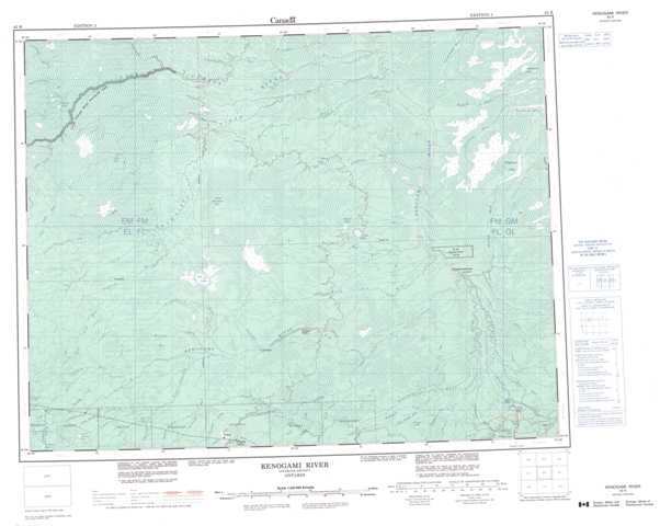
042K Kenogami River Topographic Maps
Maps for the Kenogami River map sheet 042K at 1:250,000 scale are available in 5 versions:
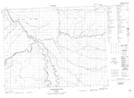
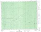
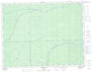
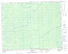
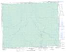
Topographic Map of Kenogami River
1:50,000 Scale Topos for Kenogami River 042K:
 |
 |
 |
 |
 |
 |
 |
 |
 |
 |
 |
 |
 |
 |
 |
 |
042K Related Maps:
042K Kenogami River
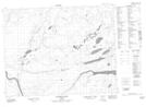
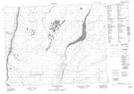
042K01 Limestone Rapids
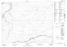
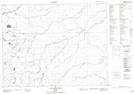
042K02 Feagan Lake
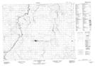
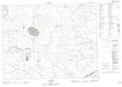
042K03 Pagwa River
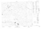
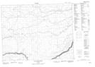
042K04 Atikasibi River
042K05 Legarde River
042K06 Jog Lake
042K07 Little Ash River
042K08 Mammamattawa
042K09 Pitukupi Lake
042K10 Kingfisher River
042K11 Little Drowning Lake
042K12 Furry Lake
042K13 Barber Lake
042K14 Britt Creek
042K15 Little Drowning River
042K16 Wakashi River
042K01 Limestone Rapids
042K02 Feagan Lake
042K03 Pagwa River
042K04 Atikasibi River
042K05 Legarde River
042K06 Jog Lake
042K07 Little Ash River
042K08 Mammamattawa
042K09 Pitukupi Lake
042K10 Kingfisher River
042K11 Little Drowning Lake
042K12 Furry Lake
042K13 Barber Lake
042K14 Britt Creek
042K15 Little Drowning River
042K16 Wakashi River
