042P Moosonee Topographic Maps
Maps for the Moosonee map sheet 042P at 1:250,000 scale are available in 5 versions:
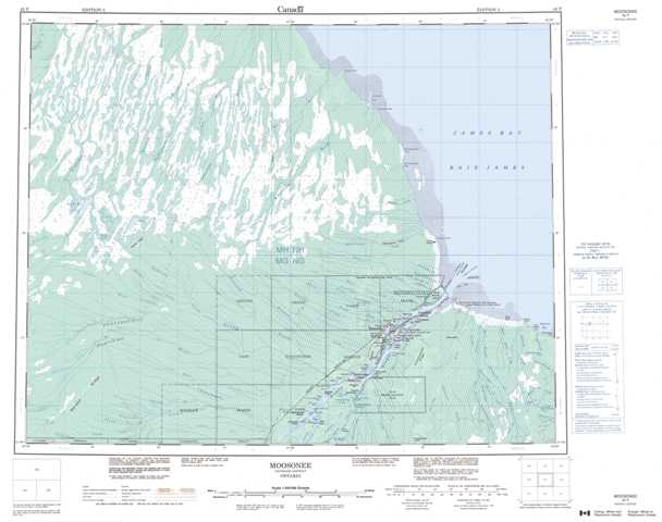
Topographic Map of Moosonee
1:50,000 Scale Topos for Moosonee 042P:
 |
 |
 |
|
 |
 |
 |
|
 |
 |
 |
 |
 |
 |
 |
 |
042P Related Maps:
042P Moosonee
042P01 Thyret Lake
042P02 Bushy Island
042P03 Cheepash River
042P04 Bedford Creek
042P05 Fulton River
042P06 Hancock Creek
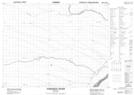
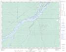
042P07 Moosonee
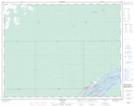
042P08 Ship Sands Island
042P10 Big Piskwamish Point
042P11 Hean Creek
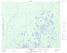
042P12 Kinosheo Lakes
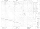
042P13 No Title
042P14 Luchan River
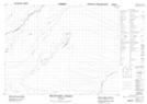
042P15 Longridge Point
042P01 Thyret Lake
042P02 Bushy Island
042P03 Cheepash River
042P04 Bedford Creek
042P05 Fulton River
042P06 Hancock Creek
042P07 Moosonee
042P08 Ship Sands Island
042P10 Big Piskwamish Point
042P11 Hean Creek
042P12 Kinosheo Lakes
042P13 No Title
042P14 Luchan River
042P15 Longridge Point
