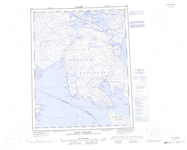
046K Hurd Channel Topographic Maps
Maps for the Hurd Channel map sheet 046K at 1:250,000 scale are available in 5 versions:
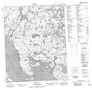
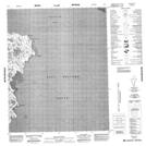
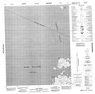
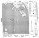
Topographic Map of Hurd Channel
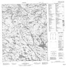
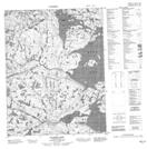
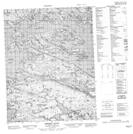
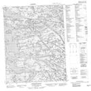
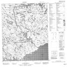
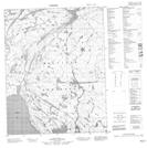
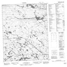
1:50,000 Scale Topos for Hurd Channel 046K:
 |
 |
 |
 |
 |
 |
 |
 |
 |
 |
 |
 |
 |
 |
 |
 |
046K Related Maps:
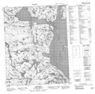
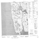
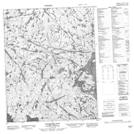
046K Hurd Channel
046K01 Georgina Island
046K02 Bushnan Island
046K03 Cape Frigid
046K04 Beach Point
046K05 Harbour Islands
046K06 Hall Islands
046K07 Palmated Bay
046K08 Gore Bay
046K09 Cape Reid
046K10 No Title
046K11 No Title
046K12 No Title
046K13 No Title
046K14 Tasers Lake
046K15 Sherer Inlet
046K16 Norman Inlet
