046L Repulse Bay Topographic Maps
Maps for the Repulse Bay map sheet 046L at 1:250,000 scale are available in 5 versions:
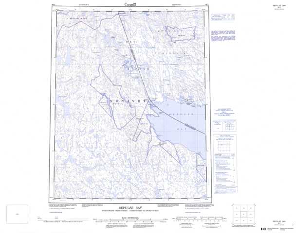
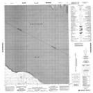
Topographic Map of Repulse Bay
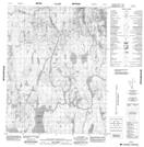
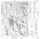
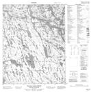
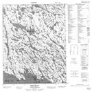
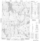
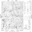
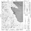
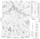
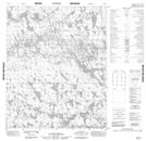
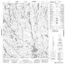
1:50,000 Scale Topos for Repulse Bay 046L:
 |
 |
 |
 |
 |
 |
 |
 |
 |
 |
 |
 |
 |
 |
 |
 |
046L Related Maps:
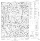
046L Repulse Bay
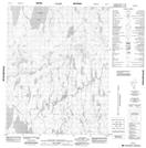
046L01 Cape Hope
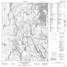
046L02 Tasialuk Lake
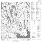
046L03 No Title
046L04 No Title
046L05 No Title
046L06 No Title
046L07 Qavirajarjuaq Hill
046L08 Tuluarvik Island
046L09 Repulse Bay
046L10 North Pole Lake
046L11 Christie Lake South
046L12 No Title
046L13 No Title
046L14 Christie Lake North
046L15 Wilson Lake North
046L16 No Title
046L01 Cape Hope
046L02 Tasialuk Lake
046L03 No Title
046L04 No Title
046L05 No Title
046L06 No Title
046L07 Qavirajarjuaq Hill
046L08 Tuluarvik Island
046L09 Repulse Bay
046L10 North Pole Lake
046L11 Christie Lake South
046L12 No Title
046L13 No Title
046L14 Christie Lake North
046L15 Wilson Lake North
046L16 No Title
