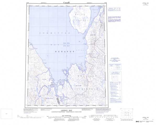
046M Lefroy Bay Topographic Maps
Maps for the Lefroy Bay map sheet 046M at 1:250,000 scale are available in 5 versions:
Topographic Map of Lefroy Bay
1:50,000 Scale Topos for Lefroy Bay 046M:
 |
 |
||
 |
 |
 |
|
 |
 |
 |
 |
 |
 |
 |
 |
046M Related Maps:
046M Lefroy Bay
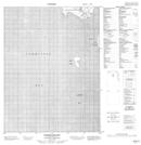
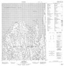
046M01 No Title
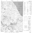
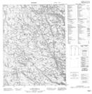
046M02 Munroe Inlet
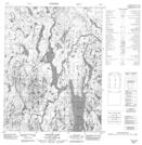
046M03 Ross Inlet
046M04 Saputit Lake
046M05 Cape Lady Pelly
046M06 Cape Simpson
046M07 Cape Watt
046M08 No Title
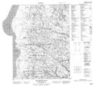
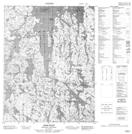
046M09 Matheson River
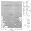
046M10 Sabine Island
046M12 Swanston Point
046M15 Wales Island
046M16 Erlandson Bay
046M01 No Title
046M02 Munroe Inlet
046M03 Ross Inlet
046M04 Saputit Lake
046M05 Cape Lady Pelly
046M06 Cape Simpson
046M07 Cape Watt
046M08 No Title
046M09 Matheson River
046M10 Sabine Island
046M12 Swanston Point
046M15 Wales Island
046M16 Erlandson Bay
