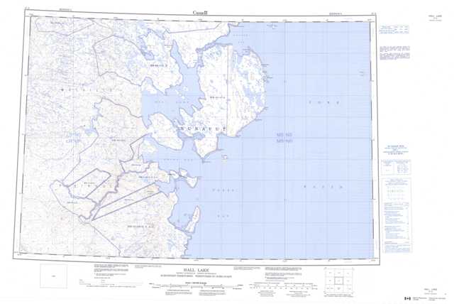
047A Hall Lake Topographic Maps
Maps for the Hall Lake map sheet 047A at 1:250,000 scale are available in 5 versions:
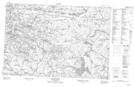
Topographic Map of Hall Lake
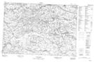
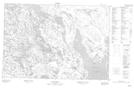
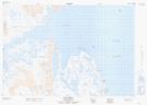
1:50,000 Scale Topos for Hall Lake 047A:
 |
 |
 |
|
 |
 |
 |
|
 |
 |
 |
|
 |
 |
 |
047A Related Maps:
047A Hall Lake
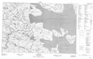
047A02 No Title
047A03 Amitoke Peninsula
047A04 No Title
047A05 No Title
047A06 Roche Bay
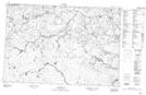
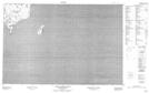
047A07 South Ooglit Island
047A10 Iligliak Point
047A11 Walrus Island
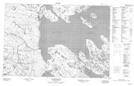
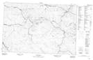
047A12 Sarcpa Lake
047A13 No Title
047A14 No Title
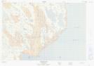
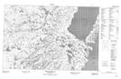
047A15 Hall Beach
047A02 No Title
047A03 Amitoke Peninsula
047A04 No Title
047A05 No Title
047A06 Roche Bay
047A07 South Ooglit Island
047A10 Iligliak Point
047A11 Walrus Island
047A12 Sarcpa Lake
047A13 No Title
047A14 No Title
047A15 Hall Beach
