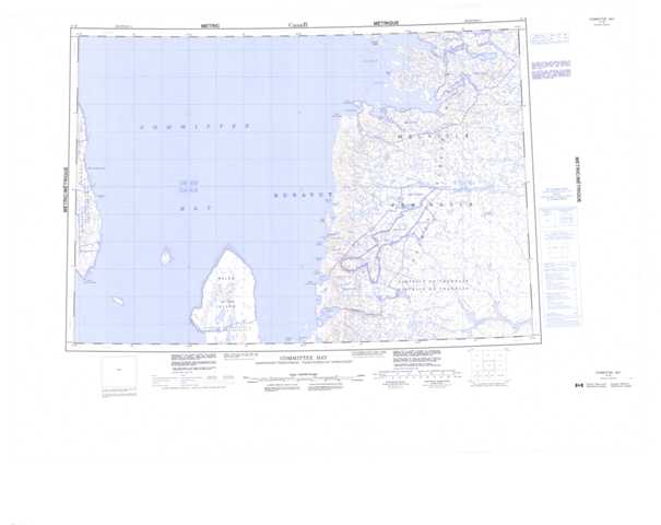
047B Committee Bay Topographic Maps
Maps for the Committee Bay map sheet 047B at 1:250,000 scale are available in 5 versions:
Topographic Map of Committee Bay
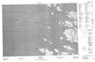
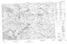
1:50,000 Scale Topos for Committee Bay 047B:
 |
 |
||
 |
 |
 |
|
 |
 |
 |
 |
 |
 |
 |
 |
047B Related Maps:
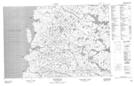
047B Committee Bay
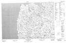
047B01 Souter Lake
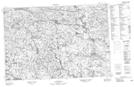
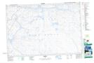
047B02 Folster Lake
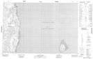
047B03 Wales Island North
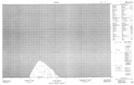
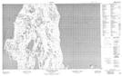
047B04 Cape James Anderson
047B05 Clouston Point
047B06 No Title
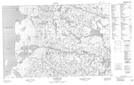
047B07 Mackar Inlet
047B08 No Title
047B09 No Title
047B10 Cape Mcloughlin
047B12 No Title
047B15 Garry Bay
047B16 No Title
047B01 Souter Lake
047B02 Folster Lake
047B03 Wales Island North
047B04 Cape James Anderson
047B05 Clouston Point
047B06 No Title
047B07 Mackar Inlet
047B08 No Title
047B09 No Title
047B10 Cape Mcloughlin
047B12 No Title
047B15 Garry Bay
047B16 No Title
