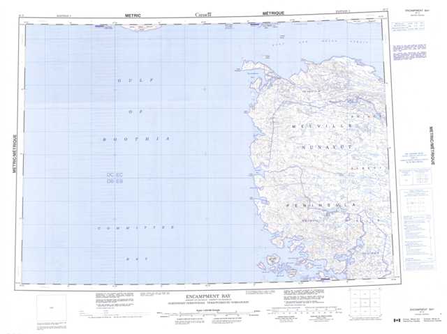
047C Encampment Bay Topographic Maps
Maps for the Encampment Bay map sheet 047C at 1:250,000 scale are available in 5 versions:
Topographic Map of Encampment Bay
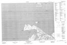
1:50,000 Scale Topos for Encampment Bay 047C:
 |
 |
||
 |
 |
||
 |
 |
||
 |
 |
047C Related Maps:
047C Encampment Bay
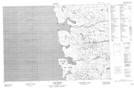
047C01 Blacks Inlet
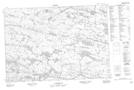
047C02 Honeyman Island
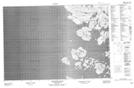
047C07 Cape Crozier
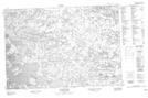
047C08 No Title
047C09 Grinnell Lake
047C10 Cape Ellice
047C15 Cape Englefield
047C16 East Cape
047C01 Blacks Inlet
047C02 Honeyman Island
047C07 Cape Crozier
047C08 No Title
047C09 Grinnell Lake
047C10 Cape Ellice
047C15 Cape Englefield
047C16 East Cape
