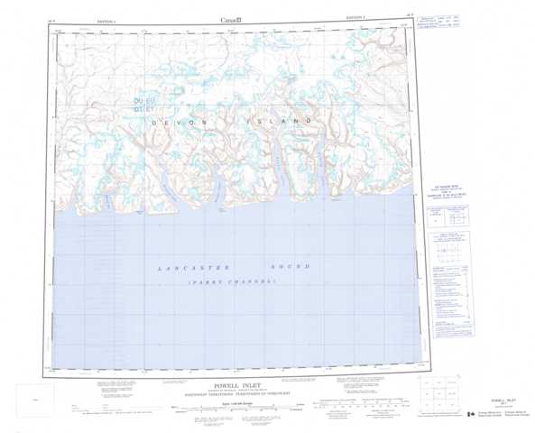
048F Powell Inlet Topographic Maps
Maps for the Powell Inlet map sheet 048F at 1:250,000 scale are available in 5 versions:
Topographic Map of Powell Inlet
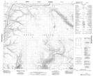
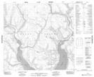
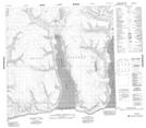
1:50,000 Scale Topos for Powell Inlet 048F:
 |
 |
 |
 |
 |
 |
||
048F Related Maps:
048F Powell Inlet
048F05 No Title
048F06 Cape Pyramid
048F09 Cape Bullen
048F10 No Title
048F11 No Title
048F12 No Title
048F05 No Title
048F06 Cape Pyramid
048F09 Cape Bullen
048F10 No Title
048F11 No Title
048F12 No Title
