052E Kenora Topographic Maps
Maps for the Kenora map sheet 052E at 1:250,000 scale are available in 5 versions:
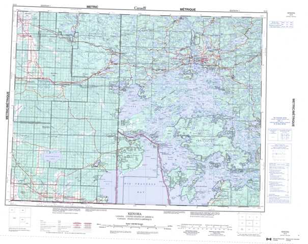
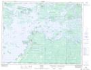
Topographic Map of Kenora
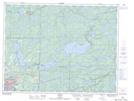
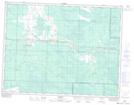
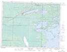
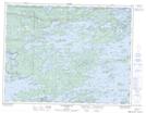
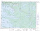
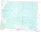
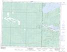
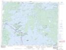
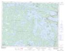
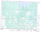
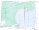
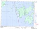
1:50,000 Scale Topos for Kenora 052E:
 |
 |
 |
 |
 |
 |
 |
 |
 |
 |
 |
 |
 |
 |
 |
 |
052E Related Maps:
052E Kenora
052E01 Morson
052E02 Big Island
052E03 Buffalo Bay
052E04 Sprague
052E05 Whitemouth River
052E06 Berry Point
052E07 Falcon Island
052E08 Sioux Narrows
052E09 Longbow Lake
052E10 Clearwater Bay
052E11 Falcon Lake
052E12 Mcmunn
052E13 Whitemouth
052E14 Caddy Lake
052E15 Keewatin
052E16 Kenora
052E01 Morson
052E02 Big Island
052E03 Buffalo Bay
052E04 Sprague
052E05 Whitemouth River
052E06 Berry Point
052E07 Falcon Island
052E08 Sioux Narrows
052E09 Longbow Lake
052E10 Clearwater Bay
052E11 Falcon Lake
052E12 Mcmunn
052E13 Whitemouth
052E14 Caddy Lake
052E15 Keewatin
052E16 Kenora
