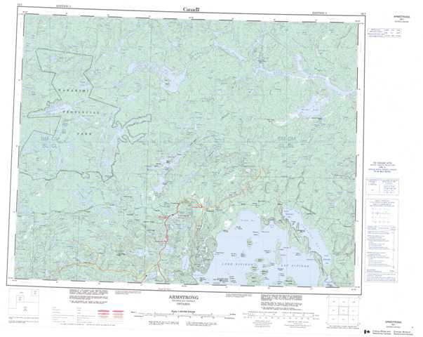
052I Armstrong Topographic Maps
Maps for the Armstrong map sheet 052I at 1:250,000 scale are available in 5 versions:
Topographic Map of Armstrong
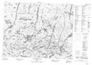
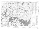
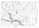
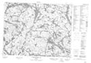
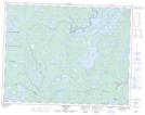
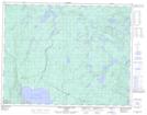
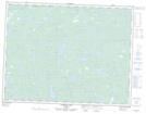
1:50,000 Scale Topos for Armstrong 052I:
 |
 |
 |
 |
 |
 |
 |
 |
 |
 |
 |
 |
 |
 |
 |
 |
052I Related Maps:
052I Armstrong
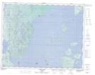
052I01 Ombabika Bay
052I02 Castle Lake
052I03 Wigwasan Lake
052I04 Aldridge Lake
052I05 Onamakawash Lake
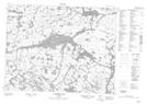
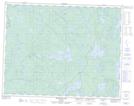
052I06 Armstrong
052I07 Pikitigushi Lake
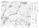
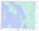
052I08 Little Jackfish River
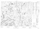
052I09 Mojikit Lake
052I10 Linklater Lake
052I11 Goldsborough Lake
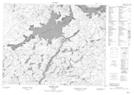
052I12 Wabakimi Lake
052I13 Burntrock Lake
052I14 Grayson Lake
052I15 Whiteclay Lake
052I16 D'Orsonnens Lake
052I01 Ombabika Bay
052I02 Castle Lake
052I03 Wigwasan Lake
052I04 Aldridge Lake
052I05 Onamakawash Lake
052I06 Armstrong
052I07 Pikitigushi Lake
052I08 Little Jackfish River
052I09 Mojikit Lake
052I10 Linklater Lake
052I11 Goldsborough Lake
052I12 Wabakimi Lake
052I13 Burntrock Lake
052I14 Grayson Lake
052I15 Whiteclay Lake
052I16 D'Orsonnens Lake
