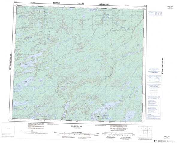
053M Knee Lake Topographic Maps
Maps for the Knee Lake map sheet 053M at 1:250,000 scale are available in 5 versions:
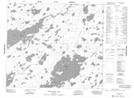
Topographic Map of Knee Lake
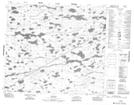
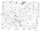
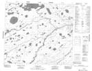
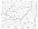
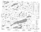
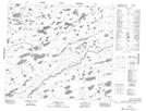
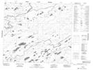
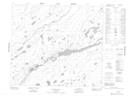
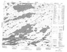
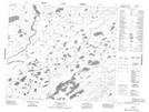
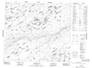
1:50,000 Scale Topos for Knee Lake 053M:
 |
 |
 |
 |
 |
 |
 |
 |
 |
 |
 |
 |
 |
 |
 |
 |
053M Related Maps:
053M Knee Lake
053M01 Makakaysip Lake
053M02 Mines Point
053M03 Whitemud Lake
053M04 Powstick Lake
053M05 Cuddle Lake
053M06 Schwatka Lake
053M07 Elsworth Lake
053M08 Wilsie Lake
053M09 Stupart Lake
053M10 Palmer Lake
053M11 Ransom Lake
053M12 High Hill Lake
053M13 War Lake
053M14 Hubley Lake
053M15 Hawes Lake
053M16 Couture Lake
