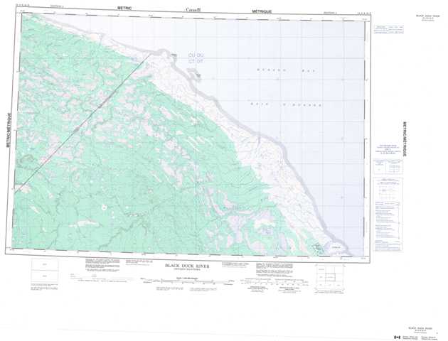
054A Black Duck River Topographic Maps
Maps for the Black Duck River map sheet 054A at 1:250,000 scale are available in 5 versions:
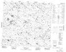
Topographic Map of Black Duck River
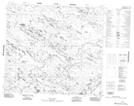
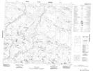
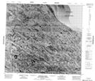
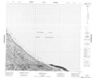
1:50,000 Scale Topos for Black Duck River 054A:
 |
 |
 |
|
 |
 |
 |
 |
 |
 |
 |
 |
 |
 |
 |
 |
054A Related Maps:
054A Black Duck River
054A01 No Title
054A02 No Title
054A03 Mistahayo Lake
054A04 Mansemeigos Creek
054A05 Commission Lake
054A06 No Title
054A07 No Title
054A08 Majikun Creek
054A09 Tamuna River
054A10 Mintiagan Creek
054A11 No Title
054A12 No Title
054A13 Kataawi Creek
054A14 Milk Creek
054A15 West Pen Island
054A01 No Title
054A02 No Title
054A03 Mistahayo Lake
054A04 Mansemeigos Creek
054A05 Commission Lake
054A06 No Title
054A07 No Title
054A08 Majikun Creek
054A09 Tamuna River
054A10 Mintiagan Creek
054A11 No Title
054A12 No Title
054A13 Kataawi Creek
054A14 Milk Creek
054A15 West Pen Island
