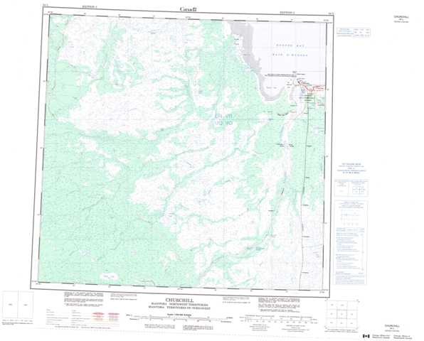
054L Churchill Topographic Maps
Maps for the Churchill map sheet 054L at 1:250,000 scale are available in 5 versions:
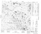
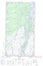
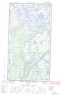
Topographic Map of Churchill
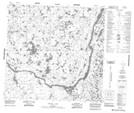
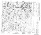
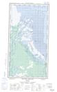
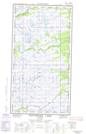
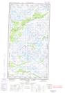
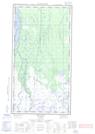
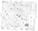
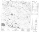
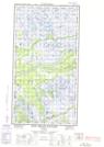
1:50,000 Scale Topos for Churchill 054L:
 |
 |
  |
 |
 |
 |
  |
 |
 |
 |
  |
  |
 |
 |
  |
  |
054L Related Maps:
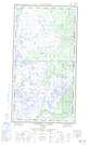
054L Churchill
054L01E Cromarty
054L01W Cromarty
054L02E Red Head Rapids
054L02W Red Head Rapids
054L03 Wise Lake
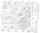
054L04 Knight Lake
054L05 No Title
054L06 Dickens Lake
054L07E Lofthouse Lake
054L07W Lofthouse Lake
054L08E Bylot
054L08W Bylot
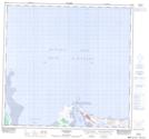
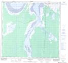
054L09 Button Bay
054L10E Nowell Lake
054L10W Nowell Lake
054L11 Teepee Falls
054L12 Duddles Lake
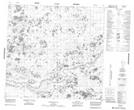
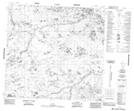
054L13 Eppler Lake
054L14 Tambanay Rapids
054L15E Knife Delta
054L15W Knife Delta
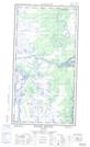
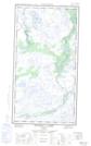
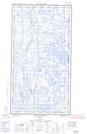
054L16 Churchill
054L01E Cromarty
054L01W Cromarty
054L02E Red Head Rapids
054L02W Red Head Rapids
054L03 Wise Lake
054L04 Knight Lake
054L05 No Title
054L06 Dickens Lake
054L07E Lofthouse Lake
054L07W Lofthouse Lake
054L08E Bylot
054L08W Bylot
054L09 Button Bay
054L10E Nowell Lake
054L10W Nowell Lake
054L11 Teepee Falls
054L12 Duddles Lake
054L13 Eppler Lake
054L14 Tambanay Rapids
054L15E Knife Delta
054L15W Knife Delta
054L16 Churchill
