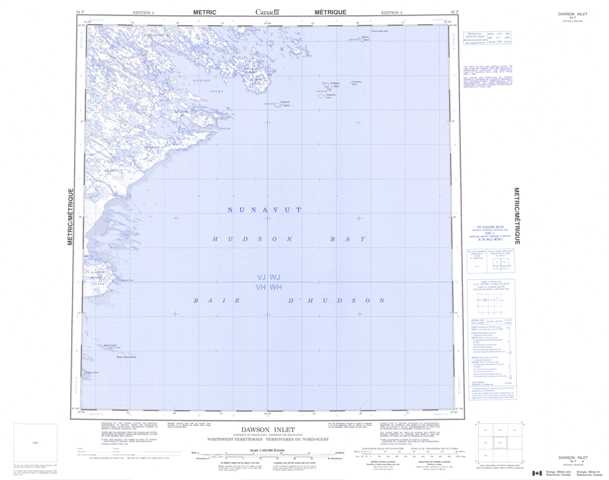
055F Dawson Inlet Topographic Maps
Maps for the Dawson Inlet map sheet 055F at 1:250,000 scale are available in 5 versions:
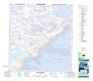
Topographic Map of Dawson Inlet
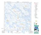
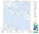
1:50,000 Scale Topos for Dawson Inlet 055F:
 |
 |
 |
|
 |
 |
||
 |
|||
 |
055F Related Maps:
055F Dawson Inlet
055F04 Sentry Island
055F05 Maguse Point
055F11 Sandy Point
055F12 Wallace River
055F13 No Title
055F14 Bibby Island
055F15 Imilijjuaq Island
055F04 Sentry Island
055F05 Maguse Point
055F11 Sandy Point
055F12 Wallace River
055F13 No Title
055F14 Bibby Island
055F15 Imilijjuaq Island
