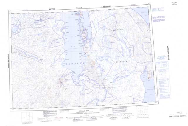
057A Pelly Bay Topographic Maps
Maps for the Pelly Bay map sheet 057A at 1:250,000 scale are available in 5 versions:
Topographic Map of Pelly Bay
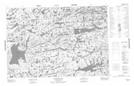
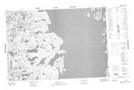
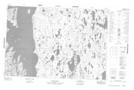
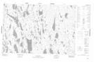
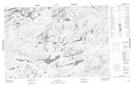
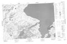
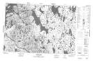
1:50,000 Scale Topos for Pelly Bay 057A:
 |
 |
 |
 |
 |
 |
 |
 |
 |
 |
 |
 |
 |
 |
 |
 |
057A Related Maps:
057A Pelly Bay
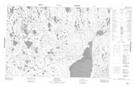
057A01 Mount Mactavish
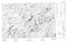
057A02 Cameron Lake
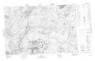
057A03 No Title
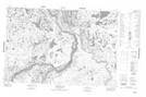
057A04 No Title
057A05 No Title
057A06 De Stael Point
057A07 Barrow Lake
057A08 Keith Bay
057A09 No Title
057A10 Login Bay
057A11 Becher River
057A12 Euphemia Hill
057A13 Burwash Lake
057A14 No Title
057A15 No Title
057A16 No Title
057A01 Mount Mactavish
057A02 Cameron Lake
057A03 No Title
057A04 No Title
057A05 No Title
057A06 De Stael Point
057A07 Barrow Lake
057A08 Keith Bay
057A09 No Title
057A10 Login Bay
057A11 Becher River
057A12 Euphemia Hill
057A13 Burwash Lake
057A14 No Title
057A15 No Title
057A16 No Title
