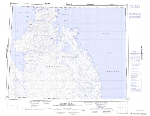
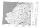
057G Brentford Bay Topographic Maps
Maps for the Brentford Bay map sheet 057G at 1:250,000 scale are available in 5 versions:
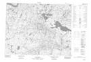
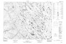
Topographic Map of Brentford Bay
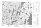
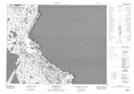
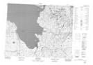
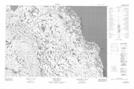
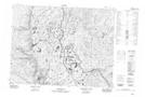
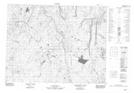
1:50,000 Scale Topos for Brentford Bay 057G:
 |
 |
 |
|
 |
 |
 |
|
 |
 |
 |
|
 |
 |
 |
 |
057G Related Maps:
057G Brentford Bay
057G01 Moltke Bay
057G02 No Title
057G03 No Title
057G04 No Title
057G05 Reid Point
057G06 No Title
057G07 Port Logan
057G10 Babbage Bay
057G11 Nudlukta Lake
057G12 Cape Maguire
057G13 No Title
057G14 No Title
057G15 Murray Bay
057G01 Moltke Bay
057G02 No Title
057G03 No Title
057G04 No Title
057G05 Reid Point
057G06 No Title
057G07 Port Logan
057G10 Babbage Bay
057G11 Nudlukta Lake
057G12 Cape Maguire
057G13 No Title
057G14 No Title
057G15 Murray Bay
