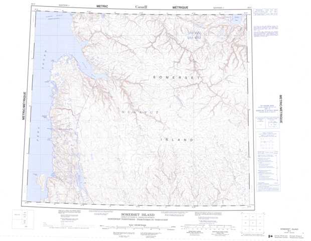
058C Somerset Island Topographic Maps
Maps for the Somerset Island map sheet 058C at 1:250,000 scale are available in 5 versions:
Topographic Map of Somerset Island
1:50,000 Scale Topos for Somerset Island 058C:
 |
 |
 |
 |
 |
 |
 |
 |
 |
 |
 |
 |
 |
 |
 |
 |
058C Related Maps:
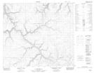
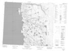
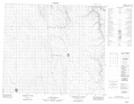
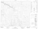
058C Somerset Island
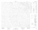
058C01 No Title
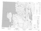
058C02 No Title
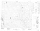
058C03 No Title
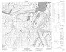
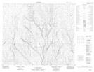
058C04 Howe Harbour
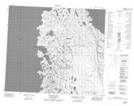
058C05 Birmingham Bay
058C06 No Title
058C07 No Title
058C08 No Title
058C09 No Title
058C10 No Title
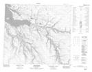
058C11 Aston River
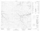
058C12 M'Clure Bay
058C13 Pressure Point
058C14 Donner River
058C15 No Title
058C16 Garnier River
058C01 No Title
058C02 No Title
058C03 No Title
058C04 Howe Harbour
058C05 Birmingham Bay
058C06 No Title
058C07 No Title
058C08 No Title
058C09 No Title
058C10 No Title
058C11 Aston River
058C12 M'Clure Bay
058C13 Pressure Point
058C14 Donner River
058C15 No Title
058C16 Garnier River
