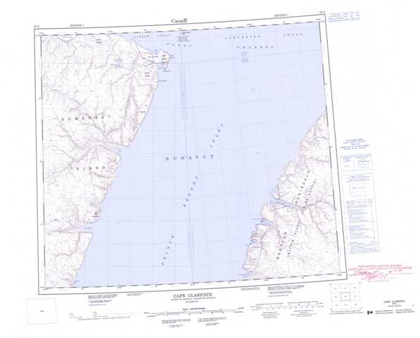
058D Cape Clarence Topographic Maps
Maps for the Cape Clarence map sheet 058D at 1:250,000 scale are available in 5 versions:
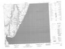
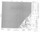
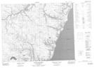
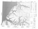
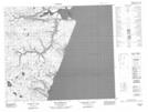
Topographic Map of Cape Clarence
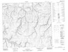
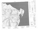
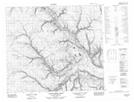
1:50,000 Scale Topos for Cape Clarence 058D:
 |
 |
||
 |
 |
 |
|
 |
 |
||
 |
058D Related Maps:
058D Cape Clarence
058D04 Two Rivers Bay
058D05 Mount Rosamond
058D08 Jackson Inlet
058D09 No Title
058D11 Elwin Bay
058D12 North Elwin River
058D13 No Title
058D14 Port Leopold
058D04 Two Rivers Bay
058D05 Mount Rosamond
058D08 Jackson Inlet
058D09 No Title
058D11 Elwin Bay
058D12 North Elwin River
058D13 No Title
058D14 Port Leopold
