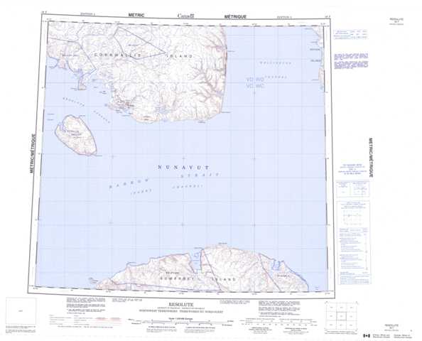
058F Resolute Topographic Maps
Maps for the Resolute map sheet 058F at 1:250,000 scale are available in 5 versions:
Topographic Map of Resolute
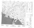
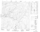
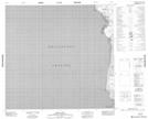
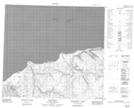
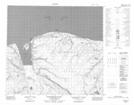
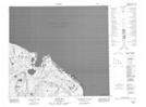
1:50,000 Scale Topos for Resolute 058F:
 |
 |
 |
 |
 |
 |
 |
|
 |
 |
 |
 |
058F Related Maps:
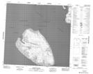
058F Resolute
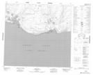
058F01 Irvine Bay
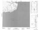
058F02 Cunningham Inlet
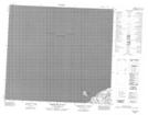
058F03 Cape Anne
058F04 Limestone Island
058F10 Cape Hotham
058F11 Resolute
058F12 Griffith Island
058F13 Becher Bay
058F14 Bacon River
058F15 Shellabear Creek
058F16 Innes Point
058F01 Irvine Bay
058F02 Cunningham Inlet
058F03 Cape Anne
058F04 Limestone Island
058F10 Cape Hotham
058F11 Resolute
058F12 Griffith Island
058F13 Becher Bay
058F14 Bacon River
058F15 Shellabear Creek
058F16 Innes Point
