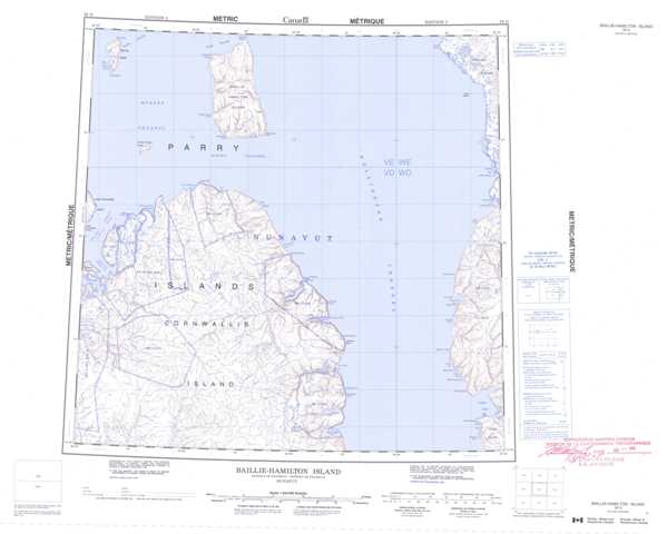
058G Baillie-Hamilton Island Topographic Maps
Maps for the Baillie-Hamilton Island map sheet 058G at 1:250,000 scale are available in 5 versions:
Topographic Map of Baillie-Hamilton Island
1:50,000 Scale Topos for Baillie-Hamilton Island 058G:
 |
 |
 |
|
 |
 |
 |
|
 |
 |
 |
 |
 |
 |
 |
 |
058G Related Maps:
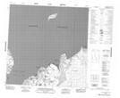
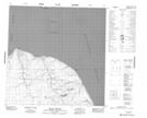
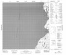
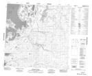
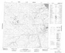
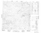
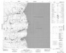
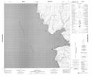
058G Baillie-Hamilton Island
058G01 Griffin Inlet
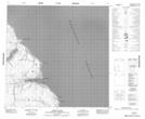
058G02 Separation Point
058G03 No Title
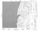
058G04 Ward River
058G05 Rookery Creek
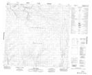
058G06 Eleanor River
058G07 Helen Haven
058G08 Macormick Bay
058G09 Baring Bay
058G11 Maury Channel
058G12 Houston Stewart Island
058G13 Baring Island
058G14 Baillie-Hamilton Island
058G16 Owen Point
058G01 Griffin Inlet
058G02 Separation Point
058G03 No Title
058G04 Ward River
058G05 Rookery Creek
058G06 Eleanor River
058G07 Helen Haven
058G08 Macormick Bay
058G09 Baring Bay
058G11 Maury Channel
058G12 Houston Stewart Island
058G13 Baring Island
058G14 Baillie-Hamilton Island
058G16 Owen Point
