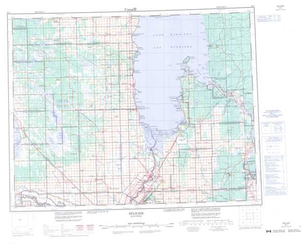
062I Selkirk Topographic Maps
Maps for the Selkirk map sheet 062I at 1:250,000 scale are available in 5 versions:
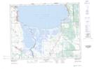
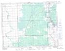
Topographic Map of Selkirk
1:50,000 Scale Topos for Selkirk 062I:
 |
 |
 |
 |
 |
 |
 |
 |
 |
 |
 |
 |
 |
 |
 |
 |
062I Related Maps:
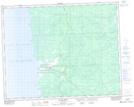
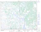
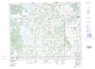
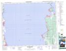
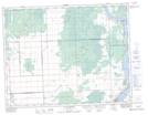
062I Selkirk
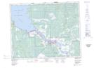
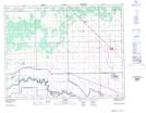
062I01 Molson
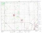
062I02 Selkirk
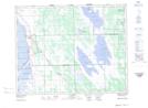
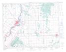
062I03 Stonewall
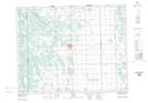
062I04 Warren
062I05 St Laurent
062I06 Teulon
062I07 Netley Marsh
062I08 Lac Du Bonnet
062I09 Pine Falls
062I10 Victoria Beach
062I11 Fraserwood
062I12 Narcisse
062I13 Poplarfield
062I14 Arborg
062I15 Riverton
062I16 Black River
062I01 Molson
062I02 Selkirk
062I03 Stonewall
062I04 Warren
062I05 St Laurent
062I06 Teulon
062I07 Netley Marsh
062I08 Lac Du Bonnet
062I09 Pine Falls
062I10 Victoria Beach
062I11 Fraserwood
062I12 Narcisse
062I13 Poplarfield
062I14 Arborg
062I15 Riverton
062I16 Black River
