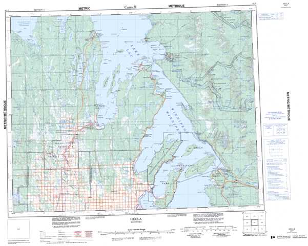
062P Hecla Topographic Maps
Maps for the Hecla map sheet 062P at 1:250,000 scale are available in 5 versions:
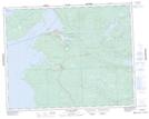
Topographic Map of Hecla
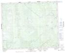
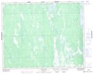
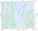
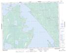
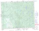
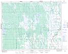
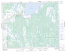
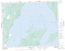
1:50,000 Scale Topos for Hecla 062P:
 |
 |
 |
 |
 |
 |
 |
 |
 |
 |
 |
 |
 |
 |
 |
 |
062P Related Maps:
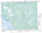
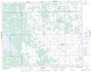
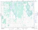
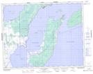
062P Hecla
062P01 English Brook
062P02 Gull Harbour
062P03 Shorncliffe
062P04 Hodgson
062P05 Harwill
062P06 Fisher River
062P07 Anderson Point
062P08 Shallow Lake
062P09 Minago Creek
062P10 Pine Dock
062P11 Lake St Andrew
062P12 Howe Lake
062P13 Poplar Point
062P14 Jackhead
062P15 Princess Harbour
062P16 Magnusson Lake
