063D Hudson Bay Topographic Maps
Maps for the Hudson Bay map sheet 063D at 1:250,000 scale are available in 5 versions:
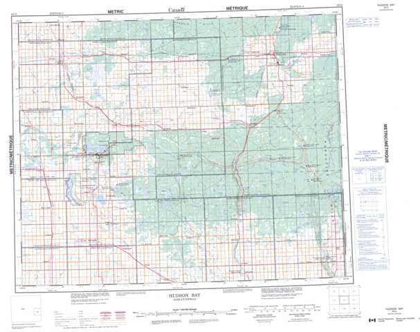
Topographic Map of Hudson Bay
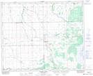
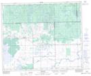
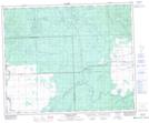
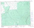
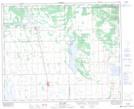
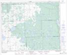
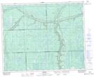
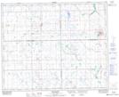
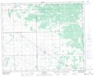
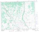
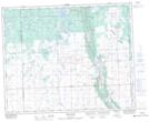
1:50,000 Scale Topos for Hudson Bay 063D:
 |
 |
 |
 |
 |
 |
 |
 |
 |
 |
 |
 |
 |
 |
 |
 |
063D Related Maps:
063D Hudson Bay
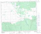
063D01 Swan Plain
063D02 Endeavour
063D03 Lintlaw
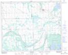
063D04 Kelvington
063D05 Nut Lake
063D06 Klogei Lake
063D07 Reserve
063D08 Mcbride Lake
063D09 Pepaw River
063D10 Weekes
063D11 Porcupine Plain
063D12 Bjorkdale
063D13 Crooked River
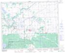
063D14 Mistatim
063D15 Prairie River
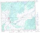
063D16 Hudson Bay
063D01 Swan Plain
063D02 Endeavour
063D03 Lintlaw
063D04 Kelvington
063D05 Nut Lake
063D06 Klogei Lake
063D07 Reserve
063D08 Mcbride Lake
063D09 Pepaw River
063D10 Weekes
063D11 Porcupine Plain
063D12 Bjorkdale
063D13 Crooked River
063D14 Mistatim
063D15 Prairie River
063D16 Hudson Bay
