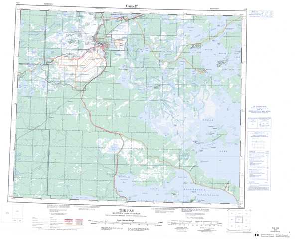
063F The Pas Topographic Maps
Maps for the The Pas map sheet 063F at 1:250,000 scale are available in 5 versions:
Topographic Map of The Pas
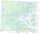
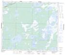
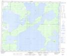
1:50,000 Scale Topos for The Pas 063F:
 |
 |
 |
 |
 |
 |
 |
 |
 |
 |
 |
 |
 |
 |
 |
 |
063F Related Maps:
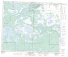
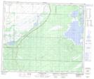
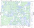
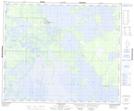
063F The Pas
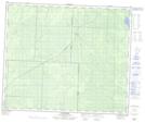
063F01 Mossy Portage
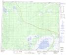
063F02 Spruce Island
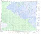
063F03 Overflowing River
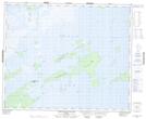
063F04 Chemong Creek
063F05 Turnberry
063F06 No Title
063F07 Connolly Bay
063F08 Kokookuhoo Island
063F09 Lamb Lake
063F10 Red Earth Lake
063F11 Pasquia Lake
063F12 Culdesac Lake
063F13 Barrier Lake
063F14 The Pas
063F15 Landry Lake
063F16 Crossing Bay
063F01 Mossy Portage
063F02 Spruce Island
063F03 Overflowing River
063F04 Chemong Creek
063F05 Turnberry
063F06 No Title
063F07 Connolly Bay
063F08 Kokookuhoo Island
063F09 Lamb Lake
063F10 Red Earth Lake
063F11 Pasquia Lake
063F12 Culdesac Lake
063F13 Barrier Lake
063F14 The Pas
063F15 Landry Lake
063F16 Crossing Bay
