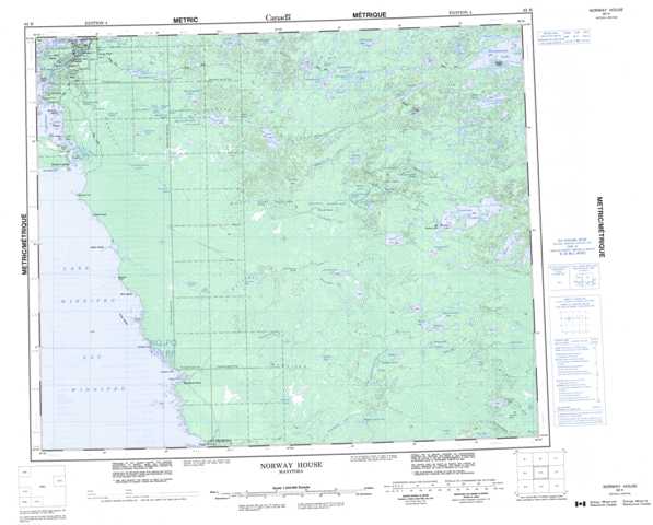
063H Norway House Topographic Maps
Maps for the Norway House map sheet 063H at 1:250,000 scale are available in 5 versions:
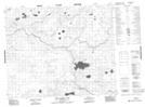
Topographic Map of Norway House
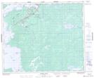
1:50,000 Scale Topos for Norway House 063H:
 |
 |
 |
 |
 |
 |
 |
 |
 |
 |
 |
 |
 |
 |
 |
 |
063H Related Maps:
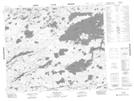
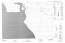
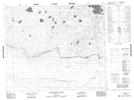
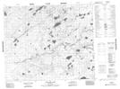
063H Norway House
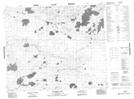
063H01 Makatesibi Lake
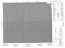
063H02 Zayets Creek
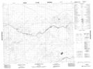
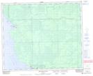
063H03 Mukutawa River
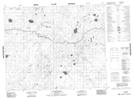
063H04 Birdnest Point
063H05 Belanger Point
063H06 Anderson Falls
063H07 Okeskimunisew Lake
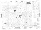
063H08 Bennett Lake
063H09 Gunisao Lake
063H10 Wechaki Lake
063H11 Ininiwekun Rapids
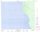
063H12 Warren Landing
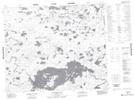
063H13 Norway House
063H14 Costes Lake
063H15 Washahigan Lake
063H16 Beach Lake
063H01 Makatesibi Lake
063H02 Zayets Creek
063H03 Mukutawa River
063H04 Birdnest Point
063H05 Belanger Point
063H06 Anderson Falls
063H07 Okeskimunisew Lake
063H08 Bennett Lake
063H09 Gunisao Lake
063H10 Wechaki Lake
063H11 Ininiwekun Rapids
063H12 Warren Landing
063H13 Norway House
063H14 Costes Lake
063H15 Washahigan Lake
063H16 Beach Lake
