063L Amisk Lake Topographic Maps
Maps for the Amisk Lake map sheet 063L at 1:250,000 scale are available in 5 versions:
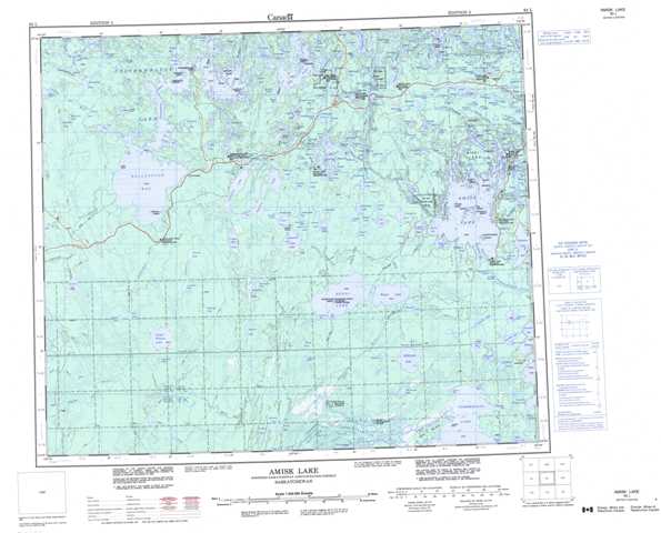
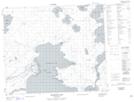
Topographic Map of Amisk Lake
1:50,000 Scale Topos for Amisk Lake 063L:
 |
 |
 |
 |
 |
 |
 |
 |
 |
 |
 |
 |
 |
 |
 |
 |
063L Related Maps:
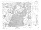
063L Amisk Lake
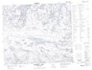
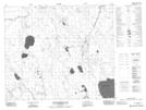
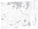
063L01 Archibald Lake
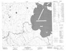
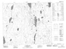
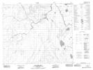
063L02 Pine Bluff
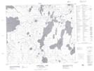
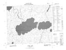
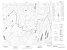
063L03 Loyns Lake
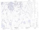
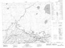
063L04 Red Bobs Lake
063L05 Seager Wheeler Lake
063L06 Saunders Lake
063L07 Suggi Lake
063L08 Leonard Lake
063L09 Denare Beach
063L10 Hanson Lake
063L11 Limestone Lake
063L12 Ballantyne Bay
063L13 Oskikebuk Lake
063L14 Viney Lake
063L15 Birch Portage
063L16 Annabel Lake
063L01 Archibald Lake
063L02 Pine Bluff
063L03 Loyns Lake
063L04 Red Bobs Lake
063L05 Seager Wheeler Lake
063L06 Saunders Lake
063L07 Suggi Lake
063L08 Leonard Lake
063L09 Denare Beach
063L10 Hanson Lake
063L11 Limestone Lake
063L12 Ballantyne Bay
063L13 Oskikebuk Lake
063L14 Viney Lake
063L15 Birch Portage
063L16 Annabel Lake
