063M Pelican Narrows Topographic Maps
Maps for the Pelican Narrows map sheet 063M at 1:250,000 scale are available in 5 versions:
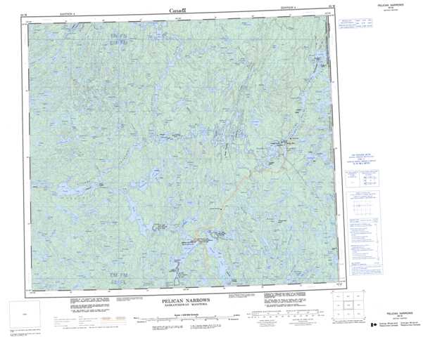
Topographic Map of Pelican Narrows
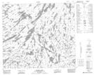
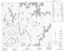
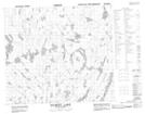
1:50,000 Scale Topos for Pelican Narrows 063M:
 |
 |
 |
 |
 |
 |
 |
 |
 |
 |
 |
 |
 |
 |
 |
 |
063M Related Maps:
063M Pelican Narrows
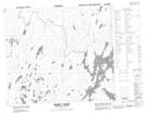
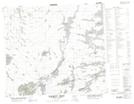
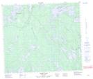
063M01 Attitti Lake
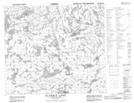
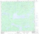
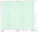
063M02 Pelican Narrows
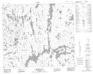
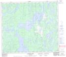
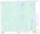
063M03 Sandy Narrows
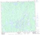
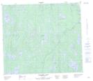
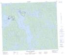
063M04 Maynard Lake
063M05 Trade Lake
063M06 Manawan Lake
063M07 Marchel Lake
063M08 Nemei Lake
063M09 Sandy Bay
063M10 Wintego Lake
063M11 Iskwatam Lake
063M12 Glennie Lake
063M13 Rothnie Lake
063M14 Laird Lake
063M15 Gilbert Lake
063M16 Pagato River
063M01 Attitti Lake
063M02 Pelican Narrows
063M03 Sandy Narrows
063M04 Maynard Lake
063M05 Trade Lake
063M06 Manawan Lake
063M07 Marchel Lake
063M08 Nemei Lake
063M09 Sandy Bay
063M10 Wintego Lake
063M11 Iskwatam Lake
063M12 Glennie Lake
063M13 Rothnie Lake
063M14 Laird Lake
063M15 Gilbert Lake
063M16 Pagato River
