064B Uhlman Lake Topographic Maps
Maps for the Uhlman Lake map sheet 064B at 1:250,000 scale are available in 5 versions:
Topographic Map of Uhlman Lake
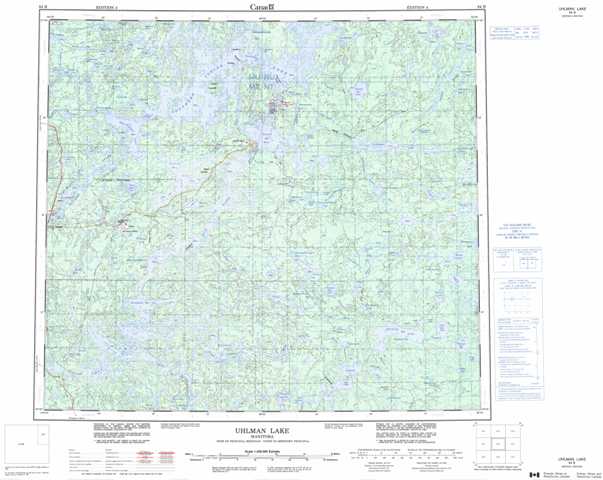
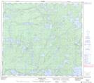
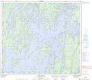
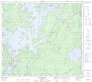
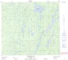
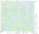
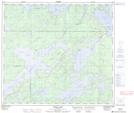
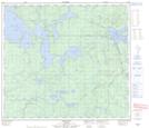
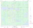
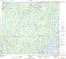
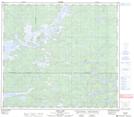
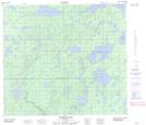
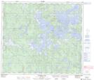
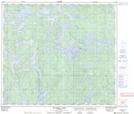
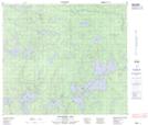
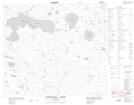
1:50,000 Scale Topos for Uhlman Lake 064B:
 |
 |
 |
 |
 |
 |
 |
 |
 |
 |
 |
 |
 |
 |
 |
 |
064B Related Maps:
064B Uhlman Lake
064B01 Harding Lake
064B02 Leftrook Lake
064B03 Mynarski Lakes
064B04 Goodwin Lake
064B05 Pemichigamau Lake
064B06 Earp Lake
064B07 Livingston Lake
064B08 Barnes Lake
064B09 Broughton Lake
064B10 Swan Bay
064B11 Issett Lake
064B12 Opachuanau Lake
064B13 Fraser Lake
064B14 Lemay Island
064B15 Cousins Lake
064B16 Chapman Lake
