064D Numabin Bay Topographic Maps
Maps for the Numabin Bay map sheet 064D at 1:250,000 scale are available in 5 versions:
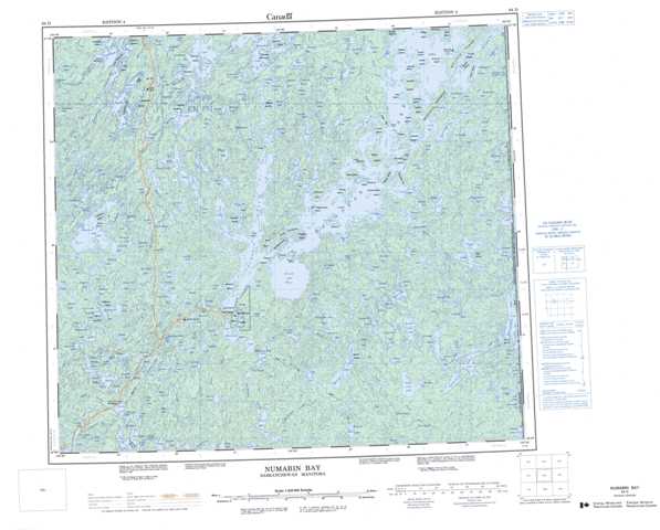
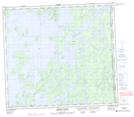
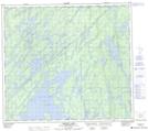
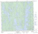
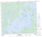
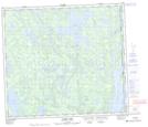
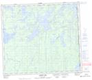
Topographic Map of Numabin Bay
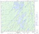
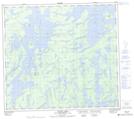
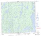
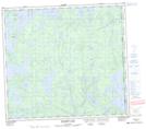
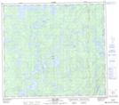
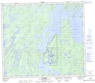
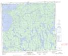
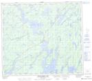
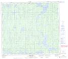
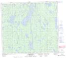
1:50,000 Scale Topos for Numabin Bay 064D:
 |
 |
 |
 |
 |
 |
 |
 |
 |
 |
 |
 |
 |
 |
 |
 |
064D Related Maps:
064D Numabin Bay
064D01 Kamatsi Lake
064D02 Harriott Lake
064D03 Royal Lake
064D04 Lower Waddy Lake
064D05 May Lake
064D06 Southend
064D07 Finlayson Lake
064D08 Kyaska Lake
064D09 Bleasdell Lake
064D10 Milton Island
064D11 Ghana Lake
064D12 Macoun Lake
064D13 Wathaman Lake
064D14 Oliver Lake
064D15 Perry Lake
064D16 Amiskit Island
