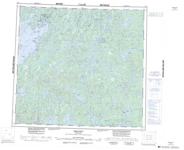
064F Brochet Topographic Maps
Maps for the Brochet map sheet 064F at 1:250,000 scale are available in 5 versions:
Topographic Map of Brochet
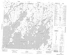
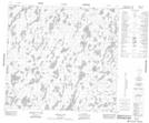
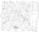
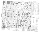
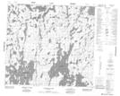
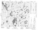
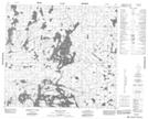
1:50,000 Scale Topos for Brochet 064F:
 |
 |
 |
 |
 |
 |
 |
 |
 |
 |
 |
 |
 |
 |
 |
 |
064F Related Maps:
064F Brochet
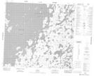
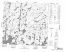
064F01 Melvin Lake
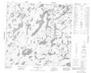
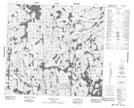
064F02 Dunsheath Lake
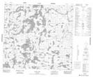
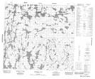
064F03 Goldsand Lake
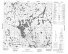
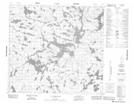
064F04 Carswell Lake
064F05 Carriere Lake
064F06 Carlson Lake
064F07 Brisebois Lake
064F08 Le Clair Lake
064F09 Jordan Lake
064F10 Eyrie Lake
064F11 Hjalmarson Lake
064F12 Sawbill
064F13 Brochet
064F14 Abram Lake
064F15 Attridge Lake
064F16 Kustra Lake
064F01 Melvin Lake
064F02 Dunsheath Lake
064F03 Goldsand Lake
064F04 Carswell Lake
064F05 Carriere Lake
064F06 Carlson Lake
064F07 Brisebois Lake
064F08 Le Clair Lake
064F09 Jordan Lake
064F10 Eyrie Lake
064F11 Hjalmarson Lake
064F12 Sawbill
064F13 Brochet
064F14 Abram Lake
064F15 Attridge Lake
064F16 Kustra Lake
