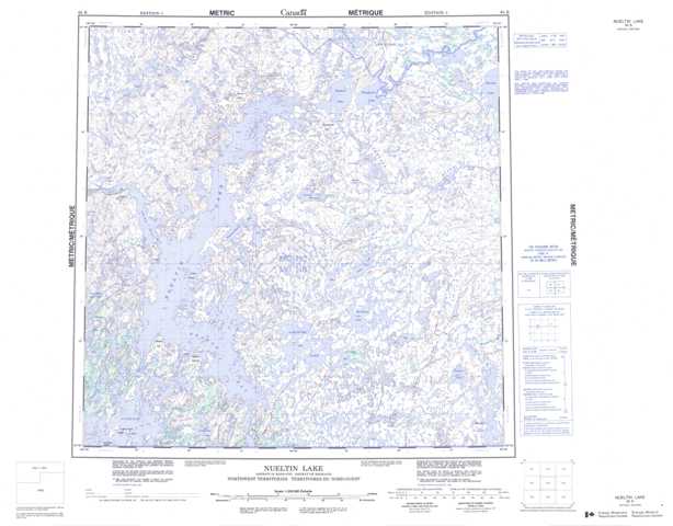
065B Nueltin Lake Topographic Maps
Maps for the Nueltin Lake map sheet 065B at 1:250,000 scale are available in 5 versions:
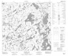
Topographic Map of Nueltin Lake
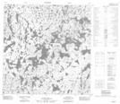
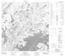
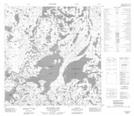
1:50,000 Scale Topos for Nueltin Lake 065B:
 |
 |
 |
 |
 |
 |
 |
 |
 |
 |
 |
 |
 |
 |
 |
 |
065B Related Maps:
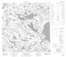
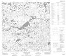
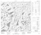
065B Nueltin Lake
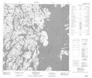
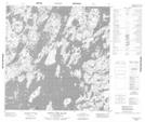
065B01 Trebell Lake
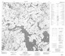
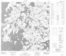
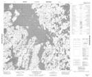
065B02 Whitefish Lake
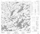
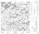
065B03 Laderoute Lake
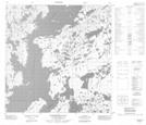
065B04 Indian Camp Island
065B05 Esker Island
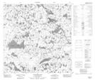
065B06 No Title
065B07 Mcaleese Lake
065B08 No Title
065B09 Portage Rapids
065B10 Dutcher Lake
065B11 Hammerhead Bay
065B12 Josies Hill
065B13 No Title
065B14 Burial Hill
065B15 Sealhole Lake
065B16 White Cliff Lake
065B01 Trebell Lake
065B02 Whitefish Lake
065B03 Laderoute Lake
065B04 Indian Camp Island
065B05 Esker Island
065B06 No Title
065B07 Mcaleese Lake
065B08 No Title
065B09 Portage Rapids
065B10 Dutcher Lake
065B11 Hammerhead Bay
065B12 Josies Hill
065B13 No Title
065B14 Burial Hill
065B15 Sealhole Lake
065B16 White Cliff Lake
