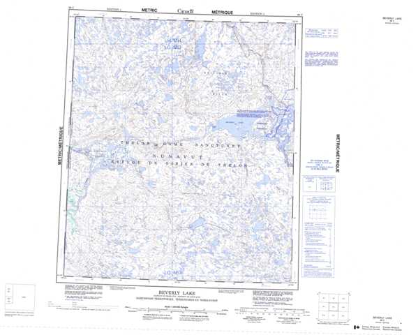
066C Beverly Lake Topographic Maps
Maps for the Beverly Lake map sheet 066C at 1:250,000 scale are available in 5 versions:
Topographic Map of Beverly Lake
1:50,000 Scale Topos for Beverly Lake 066C:
 |
 |
 |
 |
 |
 |
 |
 |
 |
 |
 |
 |
 |
 |
 |
 |
066C Related Maps:
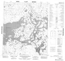
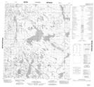
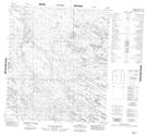
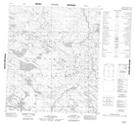
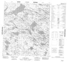
066C Beverly Lake
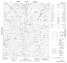
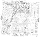
066C01 No Title
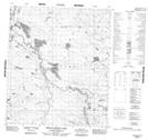
066C02 No Title
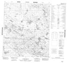
066C03 No Title
066C04 No Title
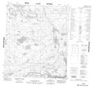
066C05 Ursus Islands
066C06 Spruce Grove Lake
066C07 No Title
066C08 No Title
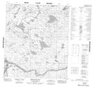
066C09 Isarurjuaq Peninsula
066C10 Hoare Point
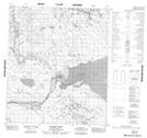
066C11 Thelon Bluffs
066C12 No Title
066C13 No Title
066C14 No Title
066C15 No Title
066C16 No Title
066C01 No Title
066C02 No Title
066C03 No Title
066C04 No Title
066C05 Ursus Islands
066C06 Spruce Grove Lake
066C07 No Title
066C08 No Title
066C09 Isarurjuaq Peninsula
066C10 Hoare Point
066C11 Thelon Bluffs
066C12 No Title
066C13 No Title
066C14 No Title
066C15 No Title
066C16 No Title
