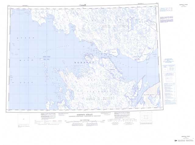
067A Simpson Strait Topographic Maps
Maps for the Simpson Strait map sheet 067A at 1:250,000 scale are available in 5 versions:
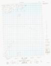
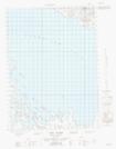
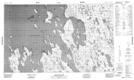
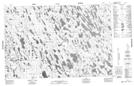
Topographic Map of Simpson Strait
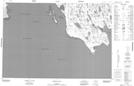
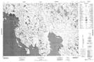
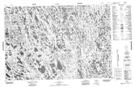
1:50,000 Scale Topos for Simpson Strait 067A:
 |
 |
 |
 |
  |
 |
  |
  |
 |
  |
  |
  |
 |
 |
 |
067A Related Maps:
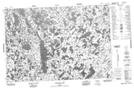
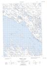
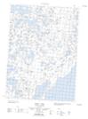
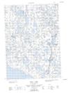
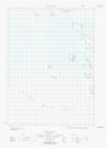
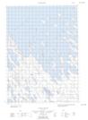
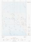
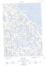
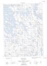
067A Simpson Strait
067A01 Maconochie Island
067A02 No Title
067A03 Longfellow Inlet
067A05E No Title
067A06E No Title
067A06W No Title
067A07E Knud Inlet
067A07W Knud Inlet
067A08E Todd Islands
067A08W Todd Islands
067A09E Koka Lake
067A09W Koka Lake
067A10E Simpson Strait
067A10W Simpson Strait
067A11E Cape John Herschel
067A12E No Title
067A12W No Title
067A13 Hornby Island
067A14 Washington Bay
067A15 No Title
067A16 Tasekyoak Lake
