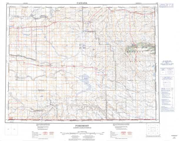
072E Foremost Topographic Maps
Maps for the Foremost map sheet 072E at 1:250,000 scale are available in 5 versions:
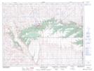
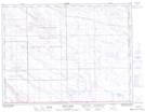
Topographic Map of Foremost
1:50,000 Scale Topos for Foremost 072E:
 |
 |
 |
 |
 |
 |
 |
 |
 |
 |
 |
 |
 |
 |
 |
 |
072E Related Maps:
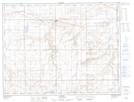
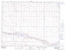
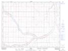
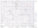
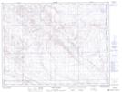
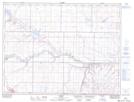
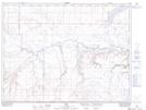
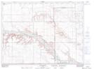
072E Foremost
072E01 Cripple Creek
072E02 Calib Coulee
072E03 Aden
072E04 Coutts
072E05 Legend
072E06 Foremost
072E07 Manyberries
072E08 Thelma Creek
072E09 Elkwater Lake
072E10 Bulls Head
072E11 Maleb
072E12 Skiff
072E13 Grassy Lake
072E14 Bow Island
072E15 Seven Persons
072E16 Irvine
072E01 Cripple Creek
072E02 Calib Coulee
072E03 Aden
072E04 Coutts
072E05 Legend
072E06 Foremost
072E07 Manyberries
072E08 Thelma Creek
072E09 Elkwater Lake
072E10 Bulls Head
072E11 Maleb
072E12 Skiff
072E13 Grassy Lake
072E14 Bow Island
072E15 Seven Persons
072E16 Irvine
