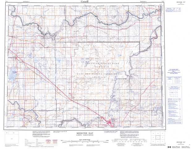
072L Medicine Hat Topographic Maps
Maps for the Medicine Hat map sheet 072L at 1:250,000 scale are available in 5 versions:
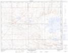
Topographic Map of Medicine Hat
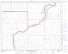
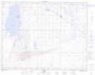
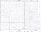
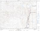
1:50,000 Scale Topos for Medicine Hat 072L:
 |
 |
 |
 |
 |
 |
 |
 |
 |
 |
 |
 |
 |
 |
 |
 |
072L Related Maps:
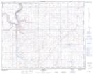
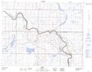
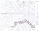
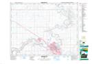
072L Medicine Hat
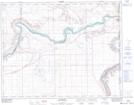
072L01 Many Island Lake
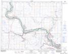
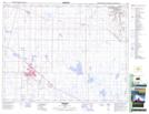
072L02 Medicine Hat
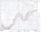
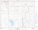
072L03 Suffield
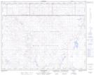
072L04 Hays
072L05 Tilley
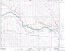
072L06 Alderson
072L07 Watching Hill
072L08 Hilda
072L09 The Middle Sand Hills
072L10 Easy Coulee
072L11 Jenner
072L12 Brooks
072L13 Wardlow
072L14 Howie
072L15 Buffalo
072L16 Bindloss
072L01 Many Island Lake
072L02 Medicine Hat
072L03 Suffield
072L04 Hays
072L05 Tilley
072L06 Alderson
072L07 Watching Hill
072L08 Hilda
072L09 The Middle Sand Hills
072L10 Easy Coulee
072L11 Jenner
072L12 Brooks
072L13 Wardlow
072L14 Howie
072L15 Buffalo
072L16 Bindloss
