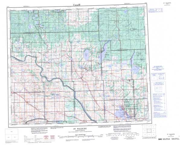
073F St Walburg Topographic Maps
Maps for the St Walburg map sheet 073F at 1:250,000 scale are available in 5 versions:
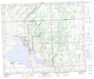
Topographic Map of St Walburg
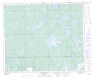
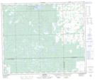
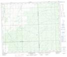
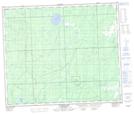
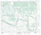
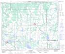
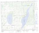
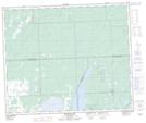
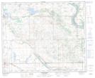
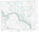
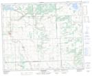
1:50,000 Scale Topos for St Walburg 073F:
 |
 |
 |
 |
 |
 |
 |
 |
 |
 |
 |
 |
 |
 |
 |
 |
073F Related Maps:
073F St Walburg
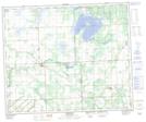
073F01 Jackfish Lake
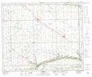
073F02 Edam
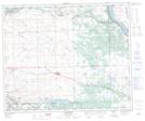
073F03 Maidstone
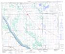
073F04 Lashburn
073F05 Greenstreet
073F06 Cleeves
073F07 Turtleford
073F08 Medstead
073F09 Helene Lake
073F10 Brightsand Lake
073F11 St Walburg
073F12 Frenchman Butte
073F13 Bronson Lake
073F14 Barthel
073F15 Horsehead Creek
073F16 Hunting Lake
073F01 Jackfish Lake
073F02 Edam
073F03 Maidstone
073F04 Lashburn
073F05 Greenstreet
073F06 Cleeves
073F07 Turtleford
073F08 Medstead
073F09 Helene Lake
073F10 Brightsand Lake
073F11 St Walburg
073F12 Frenchman Butte
073F13 Bronson Lake
073F14 Barthel
073F15 Horsehead Creek
073F16 Hunting Lake
