073M Winefred Lake Topographic Maps
Maps for the Winefred Lake map sheet 073M at 1:250,000 scale are available in 5 versions:
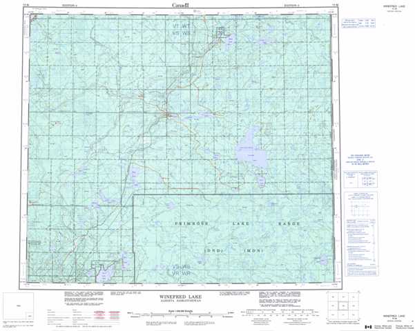
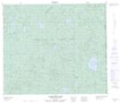
Topographic Map of Winefred Lake
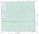
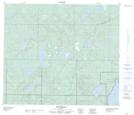
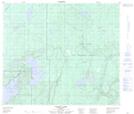
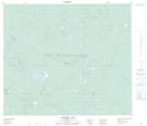
1:50,000 Scale Topos for Winefred Lake 073M:
 |
 |
 |
 |
 |
 |
 |
 |
 |
 |
 |
 |
 |
 |
 |
 |
073M Related Maps:
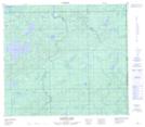
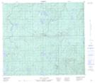
073M Winefred Lake
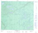
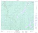
073M01 Scheltens Lake
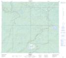
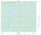
073M02 Caribou Lake
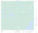
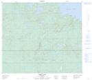
073M03 Logan Lake
073M04 Philomena
073M05 Behan Lake
073M06 Wiau Lake
073M07 Kirby Lake
073M08 Grist Lake
073M09 No Title
073M10 Christina Lake
073M11 Conklin
073M12 Thornbury Lake
073M13 No Title
073M14 Waddell Creek
073M15 Bohn Lake
073M16 Cowper Lake
073M01 Scheltens Lake
073M02 Caribou Lake
073M03 Logan Lake
073M04 Philomena
073M05 Behan Lake
073M06 Wiau Lake
073M07 Kirby Lake
073M08 Grist Lake
073M09 No Title
073M10 Christina Lake
073M11 Conklin
073M12 Thornbury Lake
073M13 No Title
073M14 Waddell Creek
073M15 Bohn Lake
073M16 Cowper Lake
