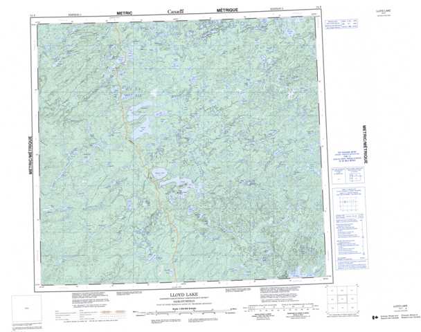
074F Lloyd Lake Topographic Maps
Maps for the Lloyd Lake map sheet 074F at 1:250,000 scale are available in 5 versions:
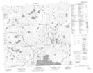
Topographic Map of Lloyd Lake
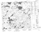
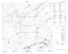
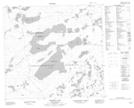
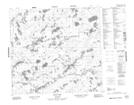
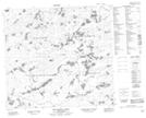
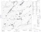
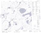
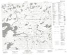
1:50,000 Scale Topos for Lloyd Lake 074F:
 |
 |
 |
 |
 |
 |
 |
 |
 |
 |
 |
 |
 |
 |
 |
 |
074F Related Maps:
074F Lloyd Lake
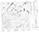
074F01 Neff Lake
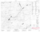
074F02 Pickford Lake
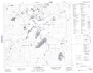
074F03 Descharme Lake
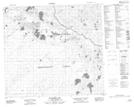
074F04 Simonson Lake
074F05 Firebag Lake
074F06 Preston Lake
074F07 Langley Lake
074F08 Montgrand Lake
074F09 Wolvernan Lakes
074F10 Koop Lake
074F11 Forrest Lake
074F12 Wenger Lake
074F13 Smart Lake
074F14 Murison Lake
074F15 Hekelaar Lake
074F16 Dunning Lake
074F01 Neff Lake
074F02 Pickford Lake
074F03 Descharme Lake
074F04 Simonson Lake
074F05 Firebag Lake
074F06 Preston Lake
074F07 Langley Lake
074F08 Montgrand Lake
074F09 Wolvernan Lakes
074F10 Koop Lake
074F11 Forrest Lake
074F12 Wenger Lake
074F13 Smart Lake
074F14 Murison Lake
074F15 Hekelaar Lake
074F16 Dunning Lake
