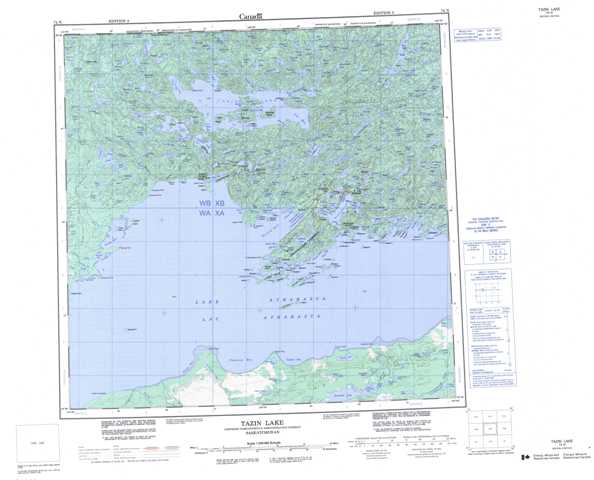
074N Tazin Lake Topographic Maps
Maps for the Tazin Lake map sheet 074N at 1:250,000 scale are available in 5 versions:
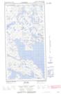
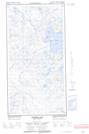
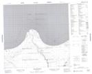
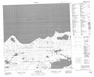
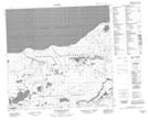
Topographic Map of Tazin Lake
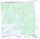
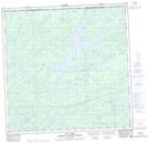
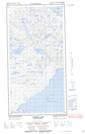
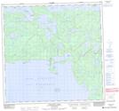
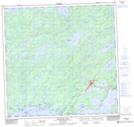
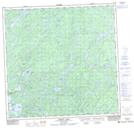
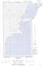
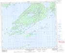
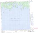
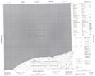
1:50,000 Scale Topos for Tazin Lake 074N:
  |
  |
 |
 |
  |
 |
 |
 |
 |
 |
 |
|
 |
 |
 |
 |
074N Related Maps:
074N Tazin Lake
074N01 Archibald River
074N02 Cantara Bay
074N03 William Point
074N04 Pointe Ennuyeuse
074N05 Maurice Bay
074N07 Crackingstone Peninsula
074N08 Goldfields
074N09 Forget Lake
074N10 Uranium City
074N11 Thluicho Lake
074N12E Harper Lake
074N12W Harper Lake
074N13E Thainka Lake
074N13W Thainka Lake
074N14E Zin Bay
074N14W Zin Bay
074N15 Burchnall Lake
074N16 Ena Lake
