076M Hepburn Island Topographic Maps
Maps for the Hepburn Island map sheet 076M at 1:250,000 scale are available in 5 versions:
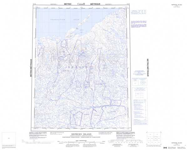
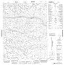
Topographic Map of Hepburn Island
1:50,000 Scale Topos for Hepburn Island 076M:
 |
 |
 |
 |
 |
 |
 |
 |
 |
 |
 |
 |
 |
 |
 |
 |
076M Related Maps:
076M Hepburn Island
076M01 No Title
076M02 No Title
076M03 No Title
076M04 No Title
076M05 No Title
076M06 No Title
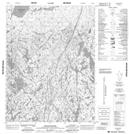
076M07 High Lake
076M08 No Title
076M09 No Title
076M10 No Title
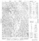
076M11 Anialik River
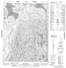
076M12 Port Epworth
076M13 No Title
076M14 Grays Bay
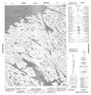
076M15 Hepburn Island
076M16 Inman Harbour
076M01 No Title
076M02 No Title
076M03 No Title
076M04 No Title
076M05 No Title
076M06 No Title
076M07 High Lake
076M08 No Title
076M09 No Title
076M10 No Title
076M11 Anialik River
076M12 Port Epworth
076M13 No Title
076M14 Grays Bay
076M15 Hepburn Island
076M16 Inman Harbour
