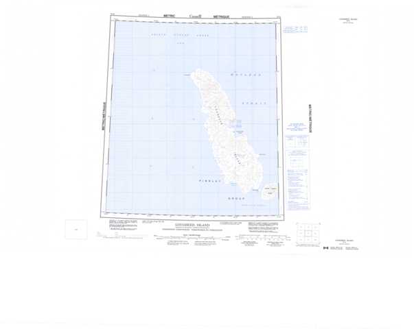
079D Lougheed Island Topographic Maps
Maps for the Lougheed Island map sheet 079D at 1:250,000 scale are available in 5 versions:
Topographic Map of Lougheed Island
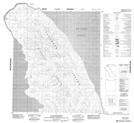
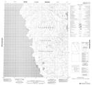
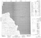
1:50,000 Scale Topos for Lougheed Island 079D:
 |
|||
 |
 |
||
 |
 |
079D Related Maps:
079D Lougheed Island
079D01 Stupart Island
079D02 No Title
079D07 No Title
079D08 Cape Rondon
079D10 Cape Ahnighito
079D01 Stupart Island
079D02 No Title
079D07 No Title
079D08 Cape Rondon
079D10 Cape Ahnighito
